Welcome to City-Data.com Forum!
U.S. CitiesCity-Data Forum Index
Go Back   City-Data Forum > General Forums > Weather
 [Register]
Please register to participate in our discussions with 2 million other members - it's free and quick! Some forums can only be seen by registered members. After you create your account, you'll be able to customize options and access all our 15,000 new posts/day with fewer ads.
View detailed profile (Advanced) or search
site with Google Custom Search

Search Forums  (Advanced)
 
Old 03-11-2014, 08:43 PM
 
Location: Near the Coast SWCT
83,712 posts, read 76,196,004 times
Reputation: 16725

Advertisements

Heads up Mid Atlantic. Check out the latest 00z Hi-Res NAM reflectivity showing line of 40+dbz from PA to Virginia Wed 7pm. Even a line of storms cutting through MA. 32° line west and north of there at that time.

SPC has a Slight Risk of Severe storms http://www.spc.noaa.gov/products/outlook/day2otlk.html

If the sun comes out tomorrow it will create warmth and instability and even a chance of Tornadoes too Philly southward.

Typical spring stuff as strong storm moves across... Severe Storms on South & East side of low, with heavy Snow West & North side of Low.


Reply With Quote Quick reply to this message

 
Old 03-11-2014, 08:49 PM
 
29,590 posts, read 19,793,403 times
Reputation: 4573
28C St Louis area today

Reply With Quote Quick reply to this message
 
Old 03-12-2014, 05:04 AM
 
Location: Near the Coast SWCT
83,712 posts, read 76,196,004 times
Reputation: 16725
Current Radar, Temps and Surface pressure as the 992 Low is near Cincinnati

Look at the 2 lines of storms south of Low. And the Heavy snow north of it. Already seeing reports of 2-4" of snow in northern Indiana.


What the storm will produce in the East. Watch out for Flash freezes even if your in the area of Rain. Temps are going to crash Wednesday night

Reply With Quote Quick reply to this message
 
Old 03-12-2014, 05:04 AM
 
29,590 posts, read 19,793,403 times
Reputation: 4573


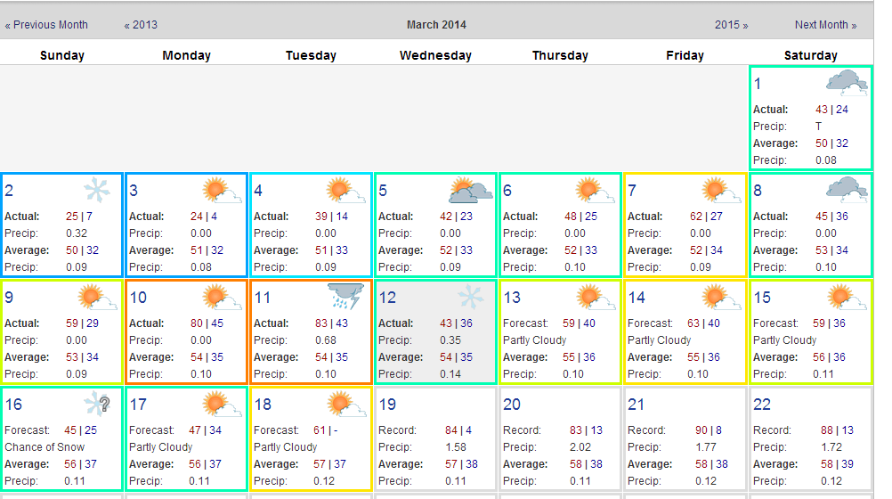
Snowfall reports as of 6AM at some CHI area stations

6.2" Joliet
5.2" Chicago-Midway
5.0" Crest Hill
4.1" Romeoville (NWS Chicago office)
4.0" Naperville


Midway is now over 85 inches for the season. About another 5 inches to go to beat it's all time record of 89.7 inches recorded in the winter of 1978/79 which is the Chicago's official snowiest winter

Last edited by chicagogeorge; 03-12-2014 at 05:19 AM..
Reply With Quote Quick reply to this message
 
Old 03-12-2014, 05:18 AM
 
Location: Near the Coast SWCT
83,712 posts, read 76,196,004 times
Reputation: 16725
Interesting from NWS NY. So when temps are warmer above the surface wind gusts aren't much higher than sustaned winds?

WINDS WILL INCREASE OUT OF THE S/SE IN RESPONSE TO THE TIGHTENING
PRESSURE GRADIENT AS THE LOW PRESSURE TO OUR WEST DEEPENS.

DUE TO THE INVERTED THERMAL PROFILE ABOVE THE
SURFACE NOT EXPECTING GUSTS TO BE MUCH HIGHER THAN SUSTAINED WINDS
AT THE SURFACE.
Reply With Quote Quick reply to this message
 
Old 03-12-2014, 05:51 AM
 
Location: Near the Coast SWCT
83,712 posts, read 76,196,004 times
Reputation: 16725
How Fast?

00z Hi-Res NAM 850mb temps & SLP.

Left is 9pm tonight. Right is 2am.

NYC 50F° to teens within 5 hrs at 850mb. That's fast! Look how tight the gradient is.

Reply With Quote Quick reply to this message
 
Old 03-12-2014, 07:16 AM
 
Location: South Jersey
14,497 posts, read 9,490,430 times
Reputation: 5251
I don't want thunderstorms. I want snow. We really get the ****ty end of this storm.
Reply With Quote Quick reply to this message
 
Old 03-12-2014, 07:38 AM
 
Location: New York
11,326 posts, read 20,417,632 times
Reputation: 6231
I want thunderstorms, I'm not expecting any, but I'd like to be surprised.

Hopefully we can salvage another nice day, it's already up to 56F where I am.
Reply With Quote Quick reply to this message
 
Old 03-12-2014, 08:00 AM
 
Location: New Jersey
15,318 posts, read 17,304,624 times
Reputation: 6959
Quote:
Originally Posted by chicagogeorge View Post
28C St Louis area today
Wow, crazy month in St. Louis:

Reply With Quote Quick reply to this message
 
Old 03-12-2014, 08:05 AM
 
Location: Perth, Western Australia
3,187 posts, read 4,615,287 times
Reputation: 2395
Most unusual dry weather has settled over the Malayan peninsula in the past 6 weeks. Singapore had it's driest month on record in February (official records start in 1869) with just 0.2mm recorded and it has still not seen any rain so far this March.
Reply With Quote Quick reply to this message
Please register to post and access all features of our very popular forum. It is free and quick. Over $68,000 in prizes has already been given out to active posters on our forum. Additional giveaways are planned.

Detailed information about all U.S. cities, counties, and zip codes on our site: City-data.com.


Reply
Please update this thread with any new information or opinions. This open thread is still read by thousands of people, so we encourage all additional points of view.

Quick Reply
Message:


Over $104,000 in prizes was already given out to active posters on our forum and additional giveaways are planned!

Go Back   City-Data Forum > General Forums > Weather

All times are GMT -6.

© 2005-2024, Advameg, Inc. · Please obey Forum Rules · Terms of Use and Privacy Policy · Bug Bounty

City-Data.com - Contact Us - Archive 1, 2, 3, 4, 5, 6, 7, 8, 9, 10, 11, 12, 13, 14, 15, 16, 17, 18, 19, 20, 21, 22, 23, 24, 25, 26, 27, 28, 29, 30, 31, 32, 33, 34, 35, 36, 37 - Top