Please register to participate in our discussions with 2 million other members - it's free and quick! Some forums can only be seen by registered members. After you create your account, you'll be able to customize options and access all our 15,000 new posts/day with fewer ads.
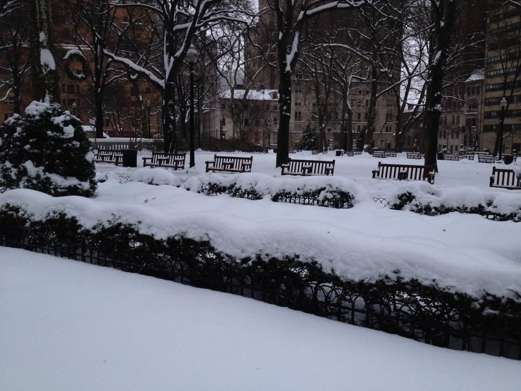
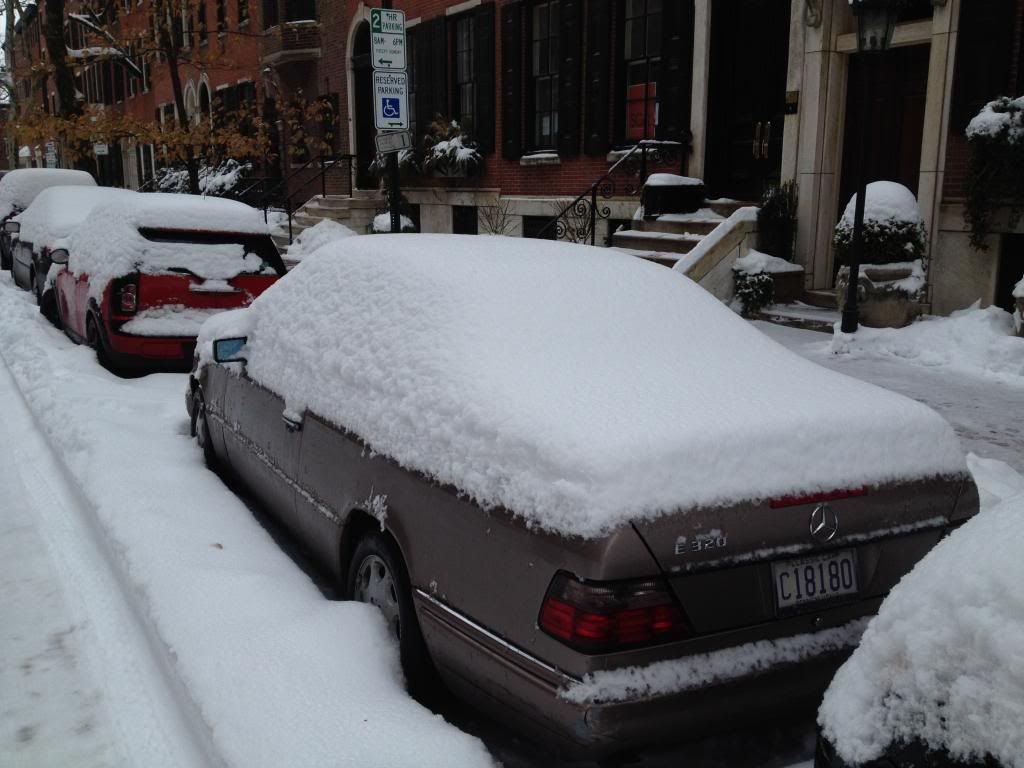
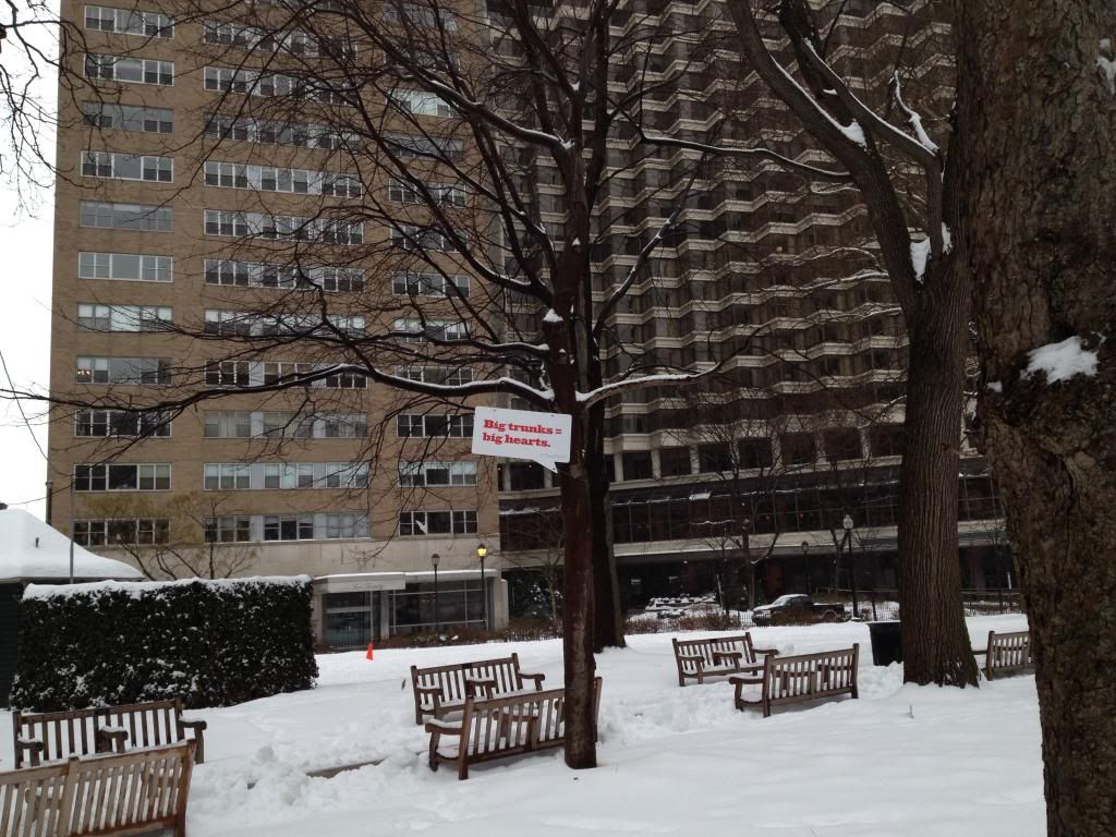
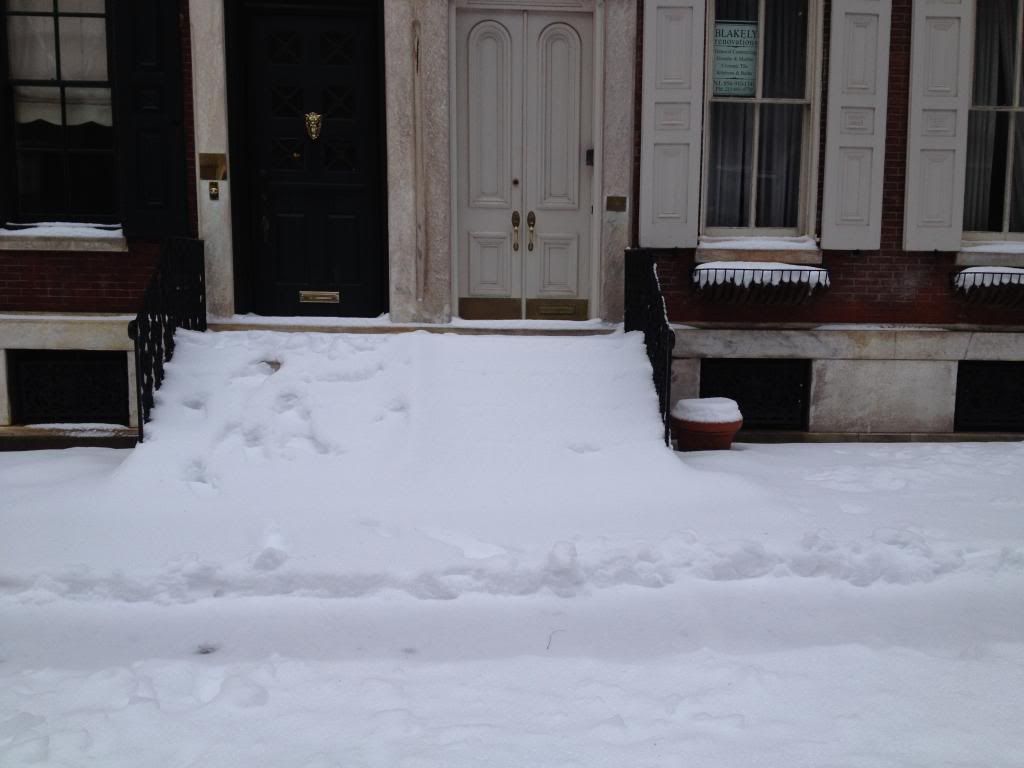
We got 10" of snow at the airport. Ugh this winter never ends.
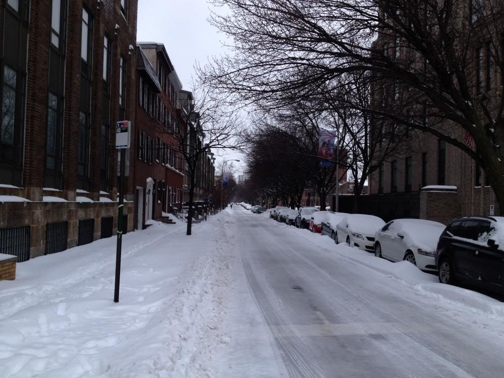
The city and burbs pretty much shut down today. Everyone is either working from home or off. Buses in the city and burbs aren't running till today at 3pm. Subways and transit lines are operating (except for one line to the burbs)and regional rail lines all operating.
We got 10" of snow at the airport. Ugh this winter never ends.
The city and burbs pretty much shut down today. Everyone is either working from home or off. Buses in the city and burbs aren't running till today at 3pm. Subways and transit lines are operating (except for one line to the burbs)and regional rail lines all operating.
I have no idea how much snow we got today. Never got around to measuring it. Been windy with sleet and freezing rain for much of the afternoon and evening. Another round of snow on the way. Total storm accumulations of 12-20 inches/30-50 cm expected.
What's with Chicago-area meteorologists' obsession with using IAD over DCA? To inflate snow totals? Correct figure is 14.8" compared to normal 11.4".
Which is more representative of DC or the DC area in general? Dulles or Reagan International? Either way it's not like Skilling used incorrect snow data. Did he?
Btw,
I found this article
Quote:
Should Reagan National Airport remain Washington, D.C.’s official weather station?
By Jason Samenow
The debate has raged for decades: does it make sense to observe Washington, D.C.’s weather in Arlington, Virginia at Reagan National Airport (DCA)?
Temperatures measured at DCA are often among the highest, if not the highest in the entire metro region. And snowfall measurements often are among the lowest.
Robert Leffler, a retired climatologist for the National Weather Service (NWS) and co-author of the 1981 journal article “Unrepresentative Temperatures at a First Order Meteorological Station: Washington National Airport,” has long tried to build the case for identifying a different observing site.
“[DCA temperatures] are unrepresentative of where most of your readers and the TV listening audience live, work, play, and grow their food. ” he wrote to me in an email.
He added: “How many readers live within 100 feet of the Potomac River on airport runways at sea level? None I know of.”
Leffler pointed out a number of recent days during which DCA’s temperatures were higher than 48 published NWS observing sites in the region. As one example he noted, on July 28 DCA had a high of 97 and a low of 72, whereas the 48 other sites averaged together (from eastern West Virginia to southern Maryland) had a high of 88 and low of 64.
Why is DCA so warm? The airport sits at a low elevation, next to a river and in the midst of urbanized northern Virginia - all of which tend to increase its temperature.
Most suburban locations are cooler - as elevations tend to rise away from the river and the concentration of heat-absorbing infrastructure decreases.
Mark Richards, a senior weather observer at DCA, agrees the airport’s weather readings are a poor indicator of conditions in the suburbs, but argues the airport is a fine location for measuring the city’s temperature.
“I think we provide a very reliable, accurate reading of metropolitan, downtown Washington temperature,” he said.
But Leffler and others (see here and here) have questioned whether DCA’s temperatures still read too warm even compared to the rest of urbanized Washington.
Leffler said “600 F jet exhaust, miles of tarmac...likely exacerbate the situation [at DCA].”
Blogger Anthony Watts leveled similar criticism: “The ASOS weather station at Reagan National Airport is right on the asphalt. That makes it the worst of the worst when it comes to station siting.”
But Richards dismissed such criticism. He said, in reality, DCA’s temperature sensor, has long been sited on a grassy surface and sheltered.
“We do a weekly comparison with a digital thermometer on the roof [of the airport] in a shaded area and they’re always comparable,” he said. “[Our] system has safeguards built in to make sure we’re not measuring some jet blast or something out of the ordinary - it’s as accurate it can be.”
NWS Science Operations Officer from its Sterling, Va. office (serving the Washington and Baltimore region), Steve Zubrick, backed Richards in defending the legitimacy of DCA’s temperatures:
In an email to me, Zubrick wrote: “Our equipment there is calibrated and checked quarterly for accuracy by NWS technicians and reports 24/7. It is sited properly by the NWS policy that governs proper siting of NWS observation equipment.”
Should a new “official” observing location be selected?
Clearly, the scientific value of DCA’s weather readings is controversial, but changing where D.C.’s official weather reports originate from would not be straight forward.
Weather measurements are taken at the airport for the primary purpose of supporting aviation - to advise the control tower of changing and potentially hazardous conditions.
“Our general job is reporting the winds, cloud ceiling and heights, and the visibility... that’s what we’re constantly watching... and we have to send that out to the control tower at least once an hour,” Richards said.
To establish an alternative station for D.C. where the monitoring of weather and climate is the primary motivation, resources would need to become available.
“I tried to establish a new station from within the NWS several years ago because of DCA’s unrepresentativeness for the area population but failed,” Leffler said in an email.
“I believe the only way a new official non-airport station will be opened in D.C. is for the private sector [print and broadcast] to coordinate a lobbying effort directly with NWS top management in Silver Spring, Md.”
But introducing a new observing location would disrupt the continuity of 70 years of DCA weather records.
“It’s been here since 1942... if we moved it now, I don’t know if the comparisons to other years would be accurate,” Richards said.
We too have a debate about where the official station in Chicago should be. Most feel that O'Hare is more similar to the Northwest suburbs. Midway is more "city".
Well... Here's a look at the current map... Upper Level Low moving over the area (orange) and the 984mb SLP NorEaster.
Snow rates of 1-2" per hr developing over PA due to the ULL. I got another 3-5" coming.
A Seasons worth of snow in the last 10 days.
Please register to post and access all features of our very popular forum. It is free and quick. Over $68,000 in prizes has already been given out to active posters on our forum. Additional giveaways are planned.
Detailed information about all U.S. cities, counties, and zip codes on our site: City-data.com.

 Please register to participate in our discussions with 2 million other members - it's free and quick! Some forums can only be seen by registered members. After you create your account, you'll be able to customize options and access all our 15,000 new posts/day with fewer ads.