Spring Thread 2017: Northern Hemisphere (hottest, warm, average, global warming)
Please register to participate in our discussions with 2 million other members - it's free and quick! Some forums can only be seen by registered members. After you create your account, you'll be able to customize options and access all our 15,000 new posts/day with fewer ads.
Possibility of a major spring snow storm for Alberta starting tomorrow. Snowfall warning has been issued for areas west of Edmonton and a winter storm watch has been issued for areas east of Edmonton.
A major spring storm is forecast to bring as much as 20 to 30 cm of snow to east-central Alberta on Friday.
An intense low pressure system developing over Montana on Thursday will spread heavy snow into the Bonnyville and southern parts of the Fort McMurray regions Thursday night. Intense snowfall rates, combined with strong easterly winds, will also produce low visibilities in snow and blowing snow on Friday. Heavy snow and blowing snow will continue Friday night and taper off on Saturday morning. Total amounts of 25 to 35 cm are likely by the time the snow ends.
As this system is still developing, there remains uncertainty in the track of the low, and the amount and location of the heaviest precipitation. Weather watches and warnings should be monitored closely as the situation continues to evolve.
Rapidly accumulating snow could make travel difficult over some locations. Visibility may be suddenly reduced at times in heavy snow. Public Safety Canada encourages everyone to make an emergency plan and get an emergency kit with drinking water, food, medicine, a first-aid kit and a flashlight.
Winter storm watches are issued when multiple types of severe winter weather are expected to occur together.
Meanwhile we are forecast highs of 46f for the forseeable. It's sickening how America is cold for weeks on end, then leaves us behind in April warming way up into the 70's.
Our avg high in April is 64F. 70'sF are not a big stretch at all. April averages over the last 30 years a total of 9 days with high temps above 70F.
You guys got much luckier with the springs than us. April and May were awful here last year, and April of 2015 was cold too. March 2015 was the 5th coldest March on record. On the other hand November 2015 was insanely warm here (followed by an even more insane December)
I've noticed that springs have lagged in the Northeast in recent years, but I suppose some of that could be due to all the back-loaded winters, and the prevailing weather pattern from those winters carrying over into early spring. Basically, the normal December-February pattern has become a January-March pattern. Only in 2010 has there been a warm spring following a cold winter. Even down here, people have commented how it seems like the entire weather pattern has been delayed by a month. That's how we end up with 90s in October, "second season" in December, and hard freezes in March.
Quote:
Originally Posted by BullochResident
Georgia was pretty much the core of the above normal during the second half of January/February this year, and I hated it.
Hurricane Matthew pretty much kept the drought from developing down here, unlike in north Georgia where absolutely no rain fell. As scary as that storm was (I had 50 mph winds at one point despite being like 60 miles inland), I will give it credit for giving us tons of rain last October.
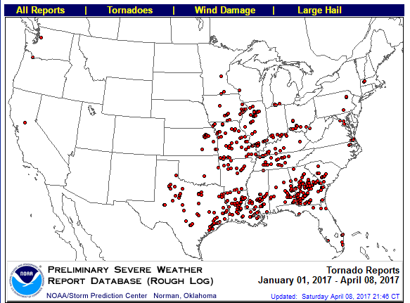
Georgia has also been ground zero for tornado activity. So far this year, Georgia has had more tornado-related fatalities than all other states combined, more strong tornadoes than any other state, and possibly more tornadoes per square mile than any other state. Louisiana has been a secondary hot spot, but Georgia seems to have gotten the worst of it so far this year.
There were a couple of weak tornadoes in the Athens area on March 21, but that's it. The worst of it has generally been south of I-20. Ironically, the typical "Dixie Alley" hot spot in northern Mississippi and northern Alabama has been left alone this year.
And I remember Hurricane Matthew very well. October 7 was the only overcast day in Athens that month. Still, we got no rain from it at all. The rain shield passed just to the east. Even Oglethorpe County, just to the east, got some rain from it while Athens stayed bone dry. Speaking of bone dry, Athens had 17 days in October with a cloud cover value of 0, meaning that there wasn't a single cloud in the sky. Add in the days with cloud cover values of 1, and that made 22 days. It sounds great, especially in the fall, but it really wasn't. We were dying for rain.
The month running warmer than average.. Yesterday nearest NWS station to me was 11 degrees warmer than MDW on the Southside of the city yesterday #springiscoolerbythelakeseason
Are your temp tastes changing? I'm surprised to hear you say that. I'm glad I got the snowstorm in March. It was perfect timing for my ski trip.
For Spring, Yes. Not sure if its temporary but I have been agitated since December since I didn't want snow or cold. Over 3 feet of snow this season when I wanted none. So this feels awesome finally..
I see lately you switched to Celsius. Most of people on this thread are from U.S now and most are lazy to do conversions. LOL But yeah....... looks like seasonable/above normal is the new pattern now. No more Jet stream dips/cold shots.
Sunday seems to be the next hottest day for next 10 days for Northeast.
4 Maps.
Here's max temps Sunday from GFS00z
Northeast view
Here's the Upper flow. No defined ridge in East but there's a zonal flow (which typically leads to warm temps in East). So whats causing the temp surge into the 70s/80s again?
Here's a look at the projected 850mb temps. This is why, not Global Warming. You have a Bermuda High at the surface and Mid Level of the atmosphere with a southerly flow...
AND you have pockets of 12-14°C temps at 5000' and that's causing the surface to spike up. Rest of East 10C which is very warm for mid April.
Please register to post and access all features of our very popular forum. It is free and quick. Over $68,000 in prizes has already been given out to active posters on our forum. Additional giveaways are planned.
Detailed information about all U.S. cities, counties, and zip codes on our site: City-data.com.

 Please register to participate in our discussions with 2 million other members - it's free and quick! Some forums can only be seen by registered members. After you create your account, you'll be able to customize options and access all our 15,000 new posts/day with fewer ads.


 But yeah....... looks like seasonable/above normal is the new pattern now. No more Jet stream dips/cold shots.


