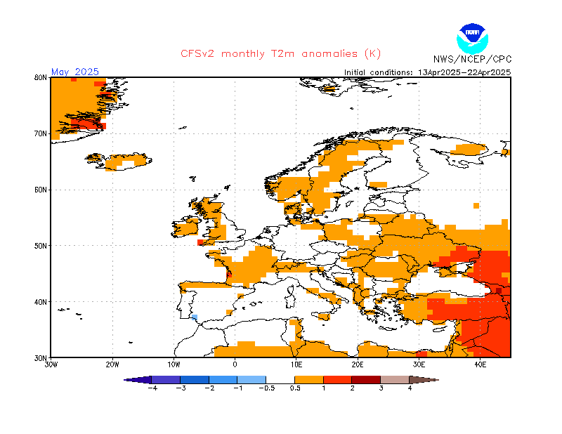
Spring 2014 (March-May) - Northern Hemisphere (snowfall, record, temperature, place)
Please register to participate in our discussions with 2 million other members - it's free and quick! Some forums can only be seen by registered members. After you create your account, you'll be able to customize options and access all our 15,000 new posts/day with fewer ads.
Ah ha. For the first time I'm seeing something that might be a hint coming up.
Orange lines are the 500mb heights (upper level flow)
You got the System and Upper Level Low off CA.
You got the Upper Level low(Vortex) leaving southern Canada
You got a trough breaking down in the East
But take a look at something that caught my eye. It's what I look for this time of year..
1st... where the 80s are.. (I discount southern Florida all the time). I look where and how far north they are showing up past 29°N. That gives me the impression the flow is favoring that area. Notice the 80s in Texas showing up.
2nd... look at the orange lines, You see that push north from Mexico, Texas, Kansas?? That looks like a ridge trying to get built.
So maybe, just maybe, does this mean that a Central U.S Ridge is in the works for Spring?? Farmers would LOVE that. It will get hot for Spring in the Plains. The East might benefit from the slope down effect of warmer weather but not be as hot being in the center of the Ridge
...WINTER STORM WARNING IN EFFECT FROM 10 AM EST /9 AM CST/
SUNDAY TO 1 PM EST /NOON CST/ MONDAY...
THE NATIONAL WEATHER SERVICE IN LOUISVILLE HAS ISSUED A WINTER
STORM WARNING FOR FREEZING RAIN...SNOW...AND SLEET. THE WINTER
STORM WATCH IS NO LONGER IN EFFECT.
* TIMING: MID-MORNING SUNDAY THROUGH MID-DAY MONDAY.
* MAIN IMPACT: THREE TO SIX INCHES OF SNOW AND SLEET ALONG WITH A
QUARTER TO THREE QUARTERS OF AN INCH OF ICE ACCUMULATION IS
EXPECTED. TRAVEL WILL BECOME TREACHEROUS AT TIMES. TREE DAMAGE
AND POWER OUTAGES ARE LIKELY.
What kind of weird storm track is that . I usually see a snow amounts higher towards the northwest, and lower towards southeastern regions. This looks like someone brushed NJ with 3 shades of blue paint.
Please register to post and access all features of our very popular forum. It is free and quick. Over $68,000 in prizes has already been given out to active posters on our forum. Additional giveaways are planned.
Detailed information about all U.S. cities, counties, and zip codes on our site: City-data.com.

 Please register to participate in our discussions with 2 million other members - it's free and quick! Some forums can only be seen by registered members. After you create your account, you'll be able to customize options and access all our 15,000 new posts/day with fewer ads.


 . I usually see a snow amounts higher towards the northwest, and lower towards southeastern regions. This looks like someone brushed NJ with 3 shades of blue paint.
