Please register to participate in our discussions with 2 million other members - it's free and quick! Some forums can only be seen by registered members. After you create your account, you'll be able to customize options and access all our 15,000 new posts/day with fewer ads.
That dry air is headed our way. That is why i was saying no chance of any rain for a long time.
You will have convective chances everyday. You cant say theres no chance. You know thats wrong. You can forecast and predict no rain, but the chances are there. And potentially a gulf storm in 10 days.
From NWS Tampa. Interesting note they say drier air for north and central zones with the front but with a westerly flow and convective stuff they will have more more rain chances..
Quote:
Area Forecast Discussion
National Weather Service Tampa Bay Ruskin FL
818 PM EDT Sat Jun 2 2018.
(Sunday Night-Saturday)...
An upper level trough and attendant surface low moving offshore the
mid Atlantic coast at the start of the period with a trailing cold
front extending southwest across the Florida Panhandle will keep the
subtropical ridge axis suppressed well to the south across the
Florida Straits through the middle of next week. The aforementioned
cold front initially across the Panhandle will sink slowly south
into the Nature Coast early on Monday, and then into the central
peninsula during Monday night before stalling out across the south
central peninsula during Tuesday and Wednesday. A band of moisture accompanying the front will support chances for some showers and
storms mainly north of the I-4 corridor on Monday, across the entire
forecast area during Monday night, and then mainly across southwest
Florida during Tuesday and Wednesday while lower rain chances can be
expected across central and northern zones where slightly drier air
will reside in the wake of the front. Similar to yesterday a
westerly flow pattern will support highest rain chances and best
convective coverage over inland locations each afternoon, with pops
in the 20 to 40 percent range expected through the period.
During Thursday through Saturday strong upper level ridging over the
southern Plains will maintain upper level troughing over the eastern
U.S. and Florida. Weak surface high pressure across the Florida
Straits will gradually rebuild back to the north across the south
central peninsula during the weekend which will support a more typical summer time pattern with scattered mainly afternoon and
evening showers and storms expected daily along the sea breeze with
a westerly steering albeit weak continuing to favor highest storm
coverage and pops over inland locations each afternoon
You will have convective chances everyday. You cant say theres no chance. You know thats wrong. You can forecast and predict no rain, but the chances are there. And potentially a gulf storm in 10 days.
From NWS Tampa. Interesting note they say drier air for north and central zones with the front but with a westerly flow and convective stuff they will have more more rain chances..
Inland will have some chance but not my house thru next Sunday, bank on it. If i am wrong i will be sure to let you know. 10 miles can make all the diff in the world in my state on who gets rain with a west wind flow during the summer. There was some heavy rain well to my north about 2 hours ago, but that was 150 miles north of me. Only a very few small build ups inland and south of me inland today.
Hot and heavy this AM with a brisk west wind. Had the scope out looking at Mars and at least no bugs with the wind blowing 12knts. Clump of showers 85 miles to my north just offshore.
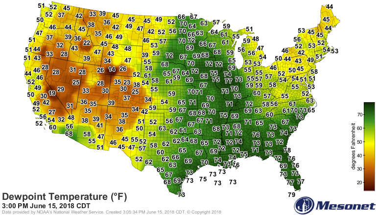
I don't like dewpoints that are too high or too low. The east tends to have terrible high dewpoints in summer and horrible low dewpoints in winter, the arid parts of the west are too low year-round. The Pacific coast is where it's at, moderate and comfortable dewpoints year round.
Please register to post and access all features of our very popular forum. It is free and quick. Over $68,000 in prizes has already been given out to active posters on our forum. Additional giveaways are planned.
Detailed information about all U.S. cities, counties, and zip codes on our site: City-data.com.

 Please register to participate in our discussions with 2 million other members - it's free and quick! Some forums can only be seen by registered members. After you create your account, you'll be able to customize options and access all our 15,000 new posts/day with fewer ads.