Please register to participate in our discussions with 2 million other members - it's free and quick! Some forums can only be seen by registered members. After you create your account, you'll be able to customize options and access all our 15,000 new posts/day with fewer ads.
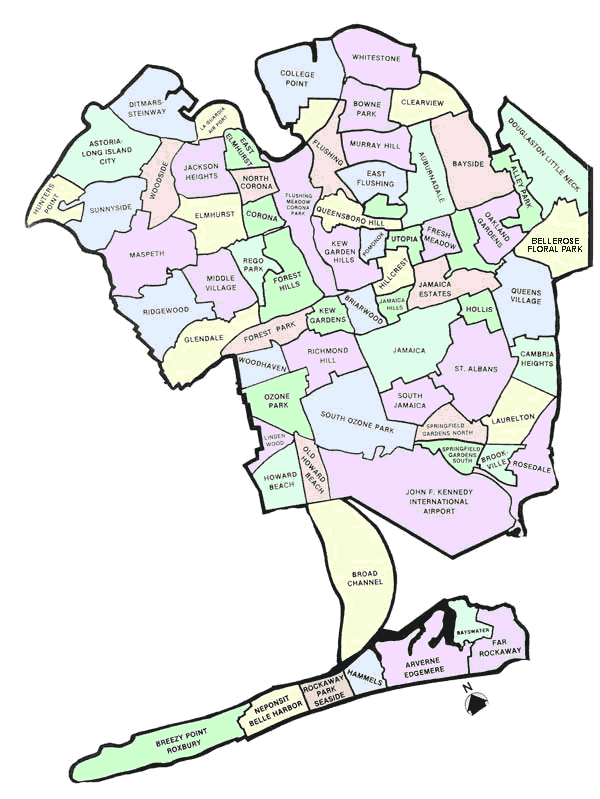
Excellent map you got there of Two Rivers, WI. I was just wondering how you were able to divide those neighborhoods with those colors. What program did you use? Because I found an existing small town that I'm creating into a fictional big city in a series of short stories I'm writing, but I'm having trouble deciding which neighborhood is going to be where. The map is based on real-life Valentine, NE and is a satire of Atlanta and San Antonio. Anyways, I think it's totally awesome what you did with that map, and I was just wondering how you pulled it off. Thanks.
Please register to post and access all features of our very popular forum. It is free and quick. Over $68,000 in prizes has already been given out to active posters on our forum. Additional giveaways are planned.
Detailed information about all U.S. cities, counties, and zip codes on our site: City-data.com.

 Please register to participate in our discussions with 2 million other members - it's free and quick! Some forums can only be seen by registered members. After you create your account, you'll be able to customize options and access all our 15,000 new posts/day with fewer ads.