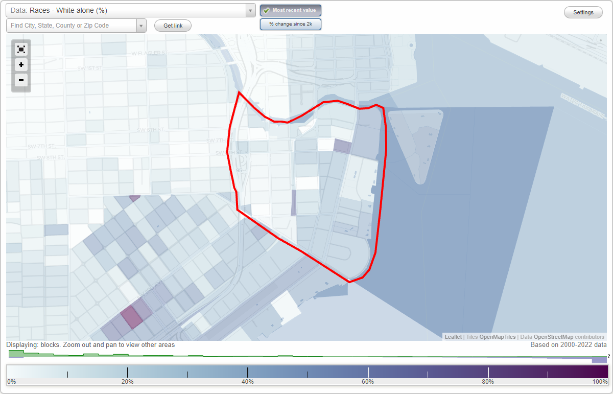
Upper Brickell neighborhood in Miami, Florida (FL), 33130, 33131 detailed profile
Settings
X

Business Search - 14 Million verified businesses
Area: 0.581 square miles
City-data.com crime index for city in 2020 (higher means more crime):
| City: | 291.6 |
| U.S. average: | 219.5 |
Limited-access highways (interstate or state) in this neighborhood:
I- 95
Length: 1.13 miles
Directions: N-S, SW-NE
Directions: N-S, SW-NE
Highways in this neighborhood:
State Hwy 90 (8th St SE, US Hwy 41)
Length: 0.78 miles
Direction: E-W
Address range: 1 to 399
Direction: E-W
Address range: 1 to 399
US Hwy 1 (Brickell Ave)
Length: 0.74 miles
Direction: N-S
Address range: 444 to 1499
Direction: N-S
Address range: 444 to 1499
State Hwy 90 (SW 7th St)
Length: 0.73 miles
Direction: E-W
Address range: 1 to 369
Direction: E-W
Address range: 1 to 369
State Hwy 972 (SW 3rd Ave)
Length: 0.60 miles
Directions: N-S, SE-NW
Address range: 400 to 1299
Directions: N-S, SE-NW
Address range: 400 to 1299
Roads and streets:
SW 1st Ave
Length: 0.94 miles
Directions: N-S, SE-NW, SW-NE
Address range: 601 to 1499
Directions: N-S, SE-NW, SW-NE
Address range: 601 to 1499
S Miami Ave
Length: 0.93 miles
Directions: N-S, SW-NE
Address range: 450 to 1499
Directions: N-S, SW-NE
Address range: 450 to 1499
Brickell Bay Dr (S Bayshore Dr)
Length: 0.71 miles
Directions: E-W, N-S, SE-NW, SW-NE
Address range: 800 to 1499
Directions: E-W, N-S, SE-NW, SW-NE
Address range: 800 to 1499
SW 2nd Ave
Length: 0.57 miles
Direction: N-S
Address range: 500 to 1499
Direction: N-S
Address range: 500 to 1499
SW 15th Rd
Length: 0.49 miles
Directions: E-W, SE-NW
Address range: 1 to 323
Directions: E-W, SE-NW
Address range: 1 to 323
SW 12th St
Length: 0.43 miles
Direction: E-W
Address range: 1 to 399
Direction: E-W
Address range: 1 to 399
SW 10th St
Length: 0.39 miles
Directions: E-W, SW-NE
Address range: 1 to 399
Directions: E-W, SW-NE
Address range: 1 to 399
SE 13th St
Length: 0.39 miles
Direction: E-W
Address range: 1 to 199
Direction: E-W
Address range: 1 to 199
SW 11th St
Length: 0.39 miles
Direction: E-W
Address range: 1 to 1108
Direction: E-W
Address range: 1 to 1108
SW 9th St
Length: 0.37 miles
Direction: E-W
Address range: 1 to 299
Direction: E-W
Address range: 1 to 299
SE 1st Ave
Length: 0.35 miles
Directions: N-S, SW-NE
Address range: 800 to 1199
Directions: N-S, SW-NE
Address range: 800 to 1199
SW 13th St
Length: 0.34 miles
Direction: E-W
Address range: 1 to 299
Direction: E-W
Address range: 1 to 299
SE 5th St
Length: 0.31 miles
Direction: E-W
Address range: 1 to 99
Direction: E-W
Address range: 1 to 99
SW 6th St
Length: 0.29 miles
Directions: E-W, SE-NW, SW-NE
Address range: 1 to 359
Directions: E-W, SE-NW, SW-NE
Address range: 1 to 359
SE 14th St
Length: 0.29 miles
Direction: E-W
Address range: 1 to 299
Direction: E-W
Address range: 1 to 299
SE 15th Rd
Length: 0.26 miles
Direction: SE-NW
Address range: 1 to 299
Direction: SE-NW
Address range: 1 to 299
SE 6th St
Length: 0.22 miles
Direction: E-W
Address range: 1 to 99
Direction: E-W
Address range: 1 to 99
SE 12th St
Length: 0.21 miles
Direction: E-W
Address range: 100 to 161
Direction: E-W
Address range: 100 to 161
SW 14th St
Length: 0.18 miles
Direction: E-W
Address range: 1 to 99
Direction: E-W
Address range: 1 to 99
SE 14th Ln
Length: 0.16 miles
Directions: E-W, SW-NE
Address range: 100 to 199
Directions: E-W, SW-NE
Address range: 100 to 199
SE 14th Ter
Length: 0.16 miles
Directions: E-W, N-S, SE-NW
Address range: 100 to 199
Directions: E-W, N-S, SE-NW
Address range: 100 to 199
SE 9th St
Length: 0.16 miles
Direction: E-W
Address range: 1 to 99
Direction: E-W
Address range: 1 to 99
SE 11th St
Length: 0.15 miles
Direction: E-W
Direction: E-W
SE 12th Ter
Length: 0.14 miles
Direction: E-W
Address range: 100 to 199
Direction: E-W
Address range: 100 to 199
SE 10th St
Length: 0.14 miles
Direction: E-W
Address range: 1 to 99
Direction: E-W
Address range: 1 to 99
Brickell Key Dr
Length: 0.13 miles
Direction: E-W
Address range: 300 to 449
Direction: E-W
Address range: 300 to 449
SW 5th St
Length: 0.12 miles
Direction: E-W
Address range: 200 to 374
Direction: E-W
Address range: 200 to 374
SW 1st Ct
Length: 0.11 miles
Direction: N-S
Address range: 600 to 1499
Direction: N-S
Address range: 600 to 1499
SW 14th Ter
Length: 0.09 miles
Direction: E-W
Address range: 1 to 71
Direction: E-W
Address range: 1 to 71
SW Miami Avenue Rd
Length: 0.08 miles
Directions: E-W, SW-NE
Address range: 1 to 99
Directions: E-W, SW-NE
Address range: 1 to 99
SW 6th Ter
Length: 0.05 miles
Direction: E-W
Direction: E-W
SW 4th St
Length: 0.03 miles
Direction: E-W
Direction: E-W
Railroad features:
Florida East Coast Rlwy
Length: 0.59 miles
Directions: N-S, SW-NE
Directions: N-S, SW-NE