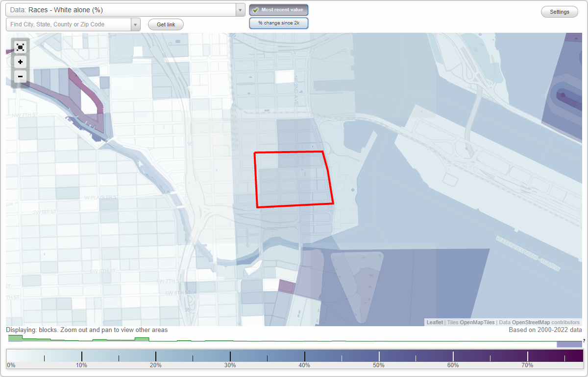
Miami Government District (Government Center) neighborhood in Miami, Florida (FL), 33131, 33132 detailed profile
Settings
X

Business Search - 14 Million verified businesses
Area: 0.116 square miles
City-data.com crime index for city in 2020 (higher means more crime):
| City: | 291.6 |
| U.S. average: | 219.5 |
Highways in this neighborhood:
State Hwy 968 (E Flagler St)
Length: 0.43 miles
Direction: E-W
Address range: 1 to 389
Direction: E-W
Address range: 1 to 389
Roads and streets:
SE 1st St
Length: 0.43 miles
Direction: E-W
Address range: 1 to 389
Direction: E-W
Address range: 1 to 389
NE 1st St
Length: 0.41 miles
Direction: E-W
Address range: 1 to 369
Direction: E-W
Address range: 1 to 369
NE 2nd St
Length: 0.40 miles
Direction: E-W
Address range: 1 to 362
Direction: E-W
Address range: 1 to 362
NE 3rd St
Length: 0.38 miles
Direction: E-W
Address range: 1 to 281
Direction: E-W
Address range: 1 to 281
NE 1st Ave
Length: 0.20 miles
Direction: N-S
Address range: 1 to 299
Direction: N-S
Address range: 1 to 299
N Miami Ave
Length: 0.20 miles
Direction: N-S
Address range: 1 to 299
Direction: N-S
Address range: 1 to 299
NE 2nd Ave
Length: 0.20 miles
Direction: N-S
Address range: 1 to 299
Direction: N-S
Address range: 1 to 299
NE 3rd Ave
Length: 0.13 miles
Direction: N-S
Address range: 1 to 199
Direction: N-S
Address range: 1 to 199
SE 2nd Ave
Length: 0.06 miles
Direction: N-S
Address range: 1 to 99
Direction: N-S
Address range: 1 to 99
SE 1st Ave
Length: 0.06 miles
Direction: N-S
Address range: 1 to 99
Direction: N-S
Address range: 1 to 99
S Miami Ave
Length: 0.06 miles
Direction: N-S
Address range: 1 to 99
Direction: N-S
Address range: 1 to 99
SE 3rd Ave
Length: 0.06 miles
Direction: N-S
Address range: 1 to 99
Direction: N-S
Address range: 1 to 99