Alma, GA Current Weather and Forecast
Alma, GA Weather Forecast
2:11 AM EDT Sun Jul 7 2024
TODAY - Patchy fog this morning. Partly sunny with a slight
chance of showers and thunderstorms this morning, then mostly
cloudy with showers and thunderstorms likely this afternoon.
Locally heavy rainfall possible this afternoon. Highs in the
lower 90s. South winds around 5 mph. Chance of rain 70 percent.
Heat index values up to 106.
TONIGHT - Mostly cloudy. Showers and thunderstorms likely in the
evening, then a chance of showers with a slight chance of
thunderstorms after midnight. Locally heavy rainfall possible in
the evening. Lows in the mid 70s. South winds around 5 mph.
Chance of rain 70 percent.
MONDAY - Patchy fog in the morning. Partly sunny with a chance
of showers and thunderstorms in the morning, then mostly cloudy
with showers and thunderstorms likely in the afternoon. Highs in
the lower 90s. Southwest winds around 5 mph. Chance of rain
70 percent. Heat index values up to 106.
MONDAY NIGHT - Mostly cloudy. Thunderstorms and showers likely
in the evening, then a slight chance of rain and thunderstorms
after midnight. Lows in the mid 70s. South winds around 5 mph in
the evening, becoming light and variable. Chance of rain
70 percent.
TUESDAY - Partly sunny with a chance of showers with a slight
chance of thunderstorms in the morning, then mostly cloudy with
showers and thunderstorms likely in the afternoon. Highs in the
lower 90s. West winds around 5 mph. Chance of rain 70 percent.
TUESDAY NIGHT - Mostly cloudy with a slight chance of
thunderstorms. Showers likely in the evening, then a slight
chance of rain after midnight. Lows in the mid 70s. Chance of
rain 70 percent.
WEDNESDAY - Partly sunny. A slight chance of rain and
thunderstorms in the morning, then thunderstorms and showers
likely in the afternoon. Highs in the lower 90s. Chance of rain
60 percent.
WEDNESDAY NIGHT - Partly cloudy. Thunderstorms and showers
likely in the evening, then a slight chance of rain and
thunderstorms after midnight. Lows in the mid 70s. Chance of rain
60 percent.
THURSDAY AND THURSDAY NIGHT - Partly cloudy. A chance of showers
and thunderstorms. Highs in the lower 90s. Lows in the mid 70s.
Chance of rain 40 percent.
FRIDAY - Mostly sunny. A slight chance of rain in the morning,
then rain and thunderstorms likely in the afternoon. Highs in the
lower 90s. Chance of rain 70 percent.
FRIDAY NIGHT - Mostly cloudy. Rain and thunderstorms likely,
mainly in the evening. Lows in the mid 70s. Chance of rain
70 percent.
SATURDAY - Partly sunny with a chance of showers and
thunderstorms. Highs in the lower 90s. Chance of rain 50 percent.
National Weather Service Jacksonville FL
Alma, GA Current Weather Conditions
ALMA BACON COUNTY AIRPORT, GA, United States (KAMG) 31-32N 82-30W 59M
Jul 07, 2024 - 06:53 AM EDT / 2024.07.07 1053 UTC
Wind: Calm:0
Visibility: 10 mile(s):0
Sky conditions: clear
Temperature: 75.9 F (24.4 C)
Dew Point: 75.0 F (23.9 C)
Relative Humidity: 97%
Pressure (altimeter): 29.96 in. Hg (1014 hPa)
Data:
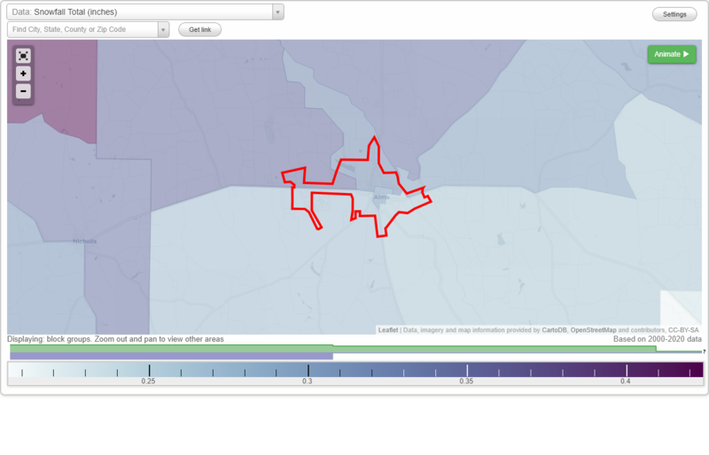
Snowfall Total (inches)
Temperature - Highest of record (°F)
Temperature - Lowest of record (°F)
Mean number of days with minimum temperature 32 °F or lower
Mean number of days with maximum temperature 90 °F or higher
Normal precipitation (inches)
Mean number of days with precipitation 0.01 inches or more
Maximum wind speed (MPH)
Normal daily mean temperature (°F)
Normal cooling degree days, Base 65 °F
Normal heating degree days, Base 65 °F
Normal daily maximum temperature (°F)
Normal daily minimum temperature (°F)
Average percent of possible sunshine (%)
Cloudiness - Mean number of days clear
Cloudiness - Mean number of days partly cloudy
Cloudiness - Mean number of days cloudy
Average relative humidity - Morning (%)
Average relative humidity - Evening (%)
Tornadoes in 1950-2018
Tornadoes in 1950-1954
Tornadoes in 1955-1959
Tornadoes in 1960-1964
Tornadoes in 1965-1969
Tornadoes in 1970-1974
Tornadoes in 1975-1979
Tornadoes in 1980-1984
Tornadoes in 1985-1989
Tornadoes in 1990-1994
Tornadoes in 1995-1999
Tornadoes in 2000-2004
Tornadoes in 2005-2009
Tornadoes in 2010-2014
Tornadoes in 2015-2018
Earthquakes in 2000
Earthquakes in 2001
Earthquakes in 2002
Earthquakes in 2003
Earthquakes in 2004
Earthquakes in 2005
Earthquakes in 2006
Earthquakes in 2007
Earthquakes in 2008
Earthquakes in 2009
Earthquakes in 2010
Earthquakes in 2011
Earthquakes in 2012
Earthquakes in 2013
Earthquakes in 2014
Earthquakes in 2015
Earthquakes in 2016
Earthquakes in 2017
Earthquakes in 2018
Earthquakes in 2019
Earthquakes in 2020
Earthquakes in 2000-2020
Snowfall Total (inches)
Temperature - Highest of record (°F)
Temperature - Lowest of record (°F)
Mean number of days with minimum temperature 32 °F or lower
Mean number of days with maximum temperature 90 °F or higher
Normal precipitation (inches)
Mean number of days with precipitation 0.01 inches or more
Maximum wind speed (MPH)
Normal daily mean temperature (°F)
Normal cooling degree days, Base 65 °F
Normal heating degree days, Base 65 °F
Normal daily maximum temperature (°F)
Normal daily minimum temperature (°F)
Average percent of possible sunshine (%)
Cloudiness - Mean number of days clear
Cloudiness - Mean number of days partly cloudy
Cloudiness - Mean number of days cloudy
Average relative humidity - Morning (%)
Average relative humidity - Evening (%)