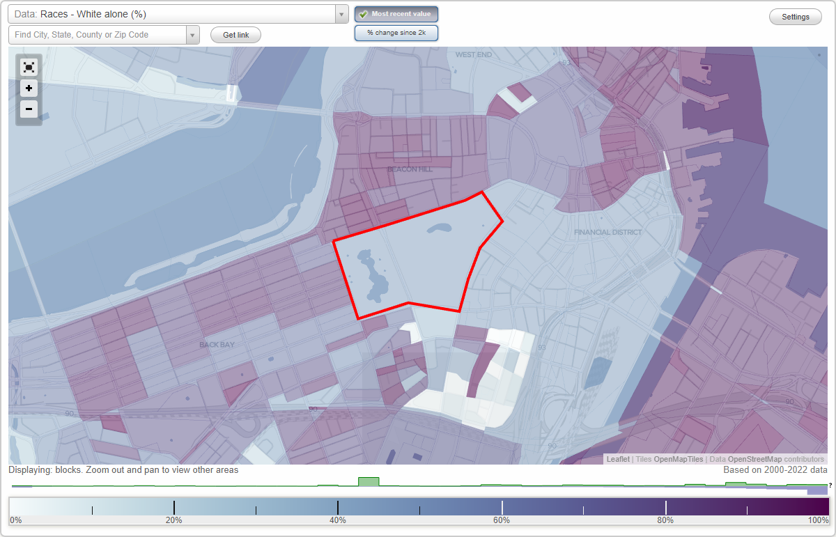
Boston Common neighborhood in Boston, Massachusetts (MA), 02108 detailed profile
Settings
X

Business Search - 14 Million verified businesses
Area: 0.125 square miles
City-data.com crime index for city in 2020 (higher means more crime):
| City: | 258.2 |
| U.S. average: | 219.5 |
Highways in this neighborhood:
State Hwy 2 (Arlington St)
Length: 0.03 miles
Direction: SE-NW
Direction: SE-NW
Roads and streets:
Tremont St
Length: 0.32 miles
Directions: N-S, SW-NE
Address range: 131 to 186
Directions: N-S, SW-NE
Address range: 131 to 186
Boylston St
Length: 0.09 miles
Direction: E-W
Address range: 70 to 128
Direction: E-W
Address range: 70 to 128