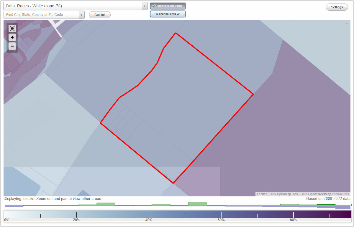
Strickland neighborhood in Oxnard, California (CA), 93030 detailed profile
Settings
X

Business Search - 14 Million verified businesses
Area: 0.779 square miles
City-data.com crime index for city in 2020 (higher means more crime):
| City: | 220.0 |
| U.S. average: | 219.5 |
Roads and streets:
N Rose Ave
Length: 0.27 miles
Direction: SW-NE
Address range: 5001 to 5354
Direction: SW-NE
Address range: 5001 to 5354
Perry Way
Length: 0.24 miles
Directions: SE-NW, SW-NE
Address range: 4700 to 5099
Directions: SE-NW, SW-NE
Address range: 4700 to 5099
Burson Way
Length: 0.23 miles
Directions: SE-NW, SW-NE
Address range: 4751 to 4999
Directions: SE-NW, SW-NE
Address range: 4751 to 4999
Strickland Dr
Length: 0.21 miles
Direction: SE-NW
Address range: 4920 to 4999
Direction: SE-NW
Address range: 4920 to 4999
Sue Way
Length: 0.10 miles
Direction: SE-NW
Direction: SE-NW
Joan Way
Length: 0.10 miles
Direction: SW-NE
Address range: 4900 to 4999
Direction: SW-NE
Address range: 4900 to 4999
Central Ave
Length: 0.00 miles
Direction: SE-NW
Direction: SE-NW