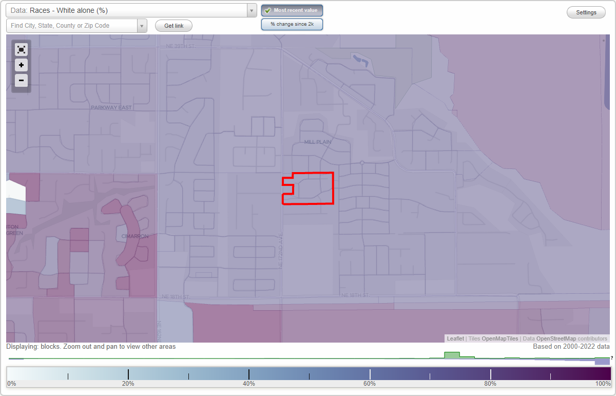
Royal Greens neighborhood in Vancouver, Washington (WA), 98684 detailed profile
Settings
X

Business Search - 14 Million verified businesses
Area: 0.023 square miles
City-data.com crime index for city in 2020 (higher means more crime):
| City: | 339.4 |
| U.S. average: | 219.5 |
Roads and streets:
NE 27th Way
Length: 0.20 miles
Directions: E-W, SW-NE
Address range: 17200 to 17699
Directions: E-W, SW-NE
Address range: 17200 to 17699
NE 26th Way
Length: 0.13 miles
Directions: E-W, SE-NW, SW-NE
Address range: 17300 to 17603
Directions: E-W, SE-NW, SW-NE
Address range: 17300 to 17603
NE 176th Ave
Length: 0.10 miles
Directions: N-S, SE-NW
Address range: 2500 to 2699
Directions: N-S, SE-NW
Address range: 2500 to 2699
NE 173rd Ave
Length: 0.06 miles
Directions: N-S, SE-NW
Address range: 2600 to 2699
Directions: N-S, SE-NW
Address range: 2600 to 2699