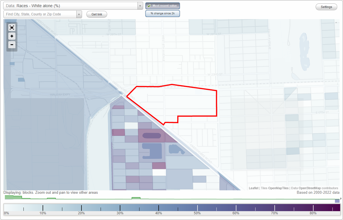
Rosedale Park neighborhood in Hialeah, Florida (FL), 33010 detailed profile
Settings
X

Business Search - 14 Million verified businesses
Area: 0.215 square miles
City-data.com crime index for city in 2020 (higher means more crime):
| City: | 133.5 |
| U.S. average: | 219.5 |
Highways in this neighborhood:
US Hwy 27 (S Okeechobee Rd)
Length: 0.44 miles
Direction: SE-NW
Address range: 1576 to 1971
Direction: SE-NW
Address range: 1576 to 1971
Roads and streets:
W 18th St
Length: 0.74 miles
Direction: E-W
Address range: 426 to 950
Direction: E-W
Address range: 426 to 950
W 20th St
Length: 0.71 miles
Direction: E-W
Address range: 400 to 899
Direction: E-W
Address range: 400 to 899
W 17th St
Length: 0.66 miles
Direction: E-W
Address range: 400 to 899
Direction: E-W
Address range: 400 to 899
W 21st St
Length: 0.65 miles
Directions: E-W, N-S, SE-NW, SW-NE
Address range: 500 to 603
Directions: E-W, N-S, SE-NW, SW-NE
Address range: 500 to 603
W 8th Ave
Length: 0.35 miles
Directions: N-S, SW-NE
Address range: 1600 to 2129
Directions: N-S, SW-NE
Address range: 1600 to 2129
W 19th St
Length: 0.29 miles
Direction: E-W
Address range: 800 to 999
Direction: E-W
Address range: 800 to 999
W 4th Ave (Red Rd)
Length: 0.18 miles
Direction: N-S
Direction: N-S
W 16th St
Length: 0.18 miles
Direction: E-W
Address range: 700 to 899
Direction: E-W
Address range: 700 to 899
W 10th Ave
Length: 0.07 miles
Direction: N-S
Direction: N-S
W 7th Ave
Length: 0.06 miles
Direction: N-S
Address range: 1600 to 1699
Direction: N-S
Address range: 1600 to 1699
Railroad features:
Florida East Coast Rlwy
Length: 1.23 miles
Directions: E-W, SE-NW
Directions: E-W, SE-NW