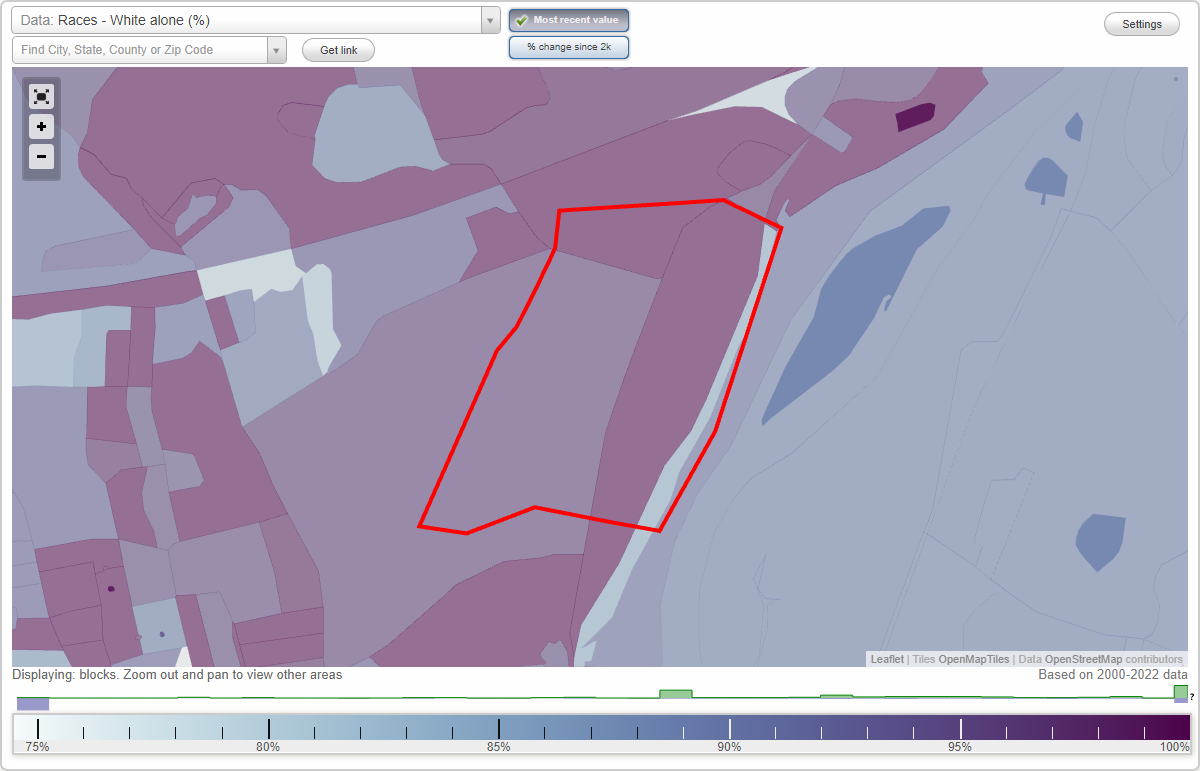
Putney neighborhood in Stratford, Connecticut (CT), 06614 detailed profile
Settings
X

Business Search - 14 Million verified businesses
Area: 0.373 square miles
City-data.com crime index for place in 2020 (higher means more crime):
| City: | 125.7 |
| U.S. average: | 219.5 |
Highways in this neighborhood:
Main St (State Hwy 110)
Length: 0.51 miles
Directions: N-S, SW-NE
Address range: 5443 to 5937
Directions: N-S, SW-NE
Address range: 5443 to 5937
Roads and streets:
Manor Hill Rd
Length: 0.32 miles
Direction: E-W
Address range: 48 to 256
Direction: E-W
Address range: 48 to 256
River Valley Rd
Length: 0.32 miles
Direction: E-W
Address range: 1 to 599
Direction: E-W
Address range: 1 to 599
Forest Rd
Length: 0.28 miles
Directions: E-W, N-S, SW-NE
Address range: 49 to 256
Directions: E-W, N-S, SW-NE
Address range: 49 to 256
Putney Chapel Way
Length: 0.25 miles
Direction: E-W
Address range: 1 to 299
Direction: E-W
Address range: 1 to 299
Old Coach Ln
Length: 0.25 miles
Direction: E-W
Address range: 35 to 310
Direction: E-W
Address range: 35 to 310
River Rd
Length: 0.24 miles
Directions: N-S, SW-NE
Address range: 200 to 5400
Directions: N-S, SW-NE
Address range: 200 to 5400
Chapel St
Length: 0.18 miles
Direction: E-W
Address range: 1 to 94
Direction: E-W
Address range: 1 to 94
Founders Way
Length: 0.15 miles
Directions: N-S, SW-NE
Address range: 1 to 299
Directions: N-S, SW-NE
Address range: 1 to 299
September Ln
Length: 0.13 miles
Direction: E-W
Address range: 1 to 99
Direction: E-W
Address range: 1 to 99
Other features:
Negro Brk
Length: 0.04 miles
Direction: SE-NW
Direction: SE-NW