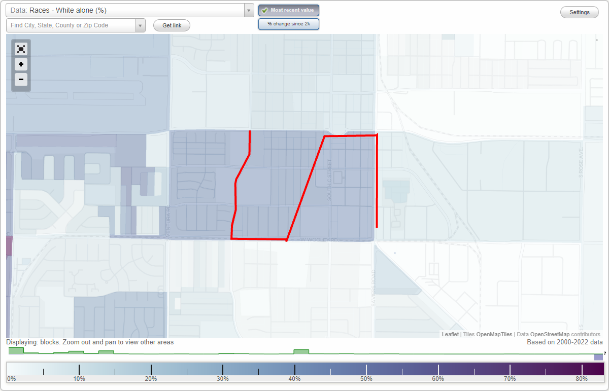
Hobson Park East neighborhood in Oxnard, California (CA), 93030 detailed profile
Settings
X

Business Search - 14 Million verified businesses
Area: 0.344 square miles
City-data.com crime index for city in 2020 (higher means more crime):
| City: | 220.0 |
| U.S. average: | 219.5 |
Highways in this neighborhood:
State Rte 1 (S Oxnard Blvd, Pacific Coast Hwy)
Length: 0.34 miles
Direction: N-S
Address range: 530 to 899
Direction: N-S
Address range: 530 to 899
Roads and streets:
W 9th St
Length: 0.77 miles
Direction: E-W
Address range: 100 to 1058
Direction: E-W
Address range: 100 to 1058
W Wooley Rd
Length: 0.73 miles
Direction: E-W
Address range: 401 to 1031
Direction: E-W
Address range: 401 to 1031
W 6th St
Length: 0.65 miles
Direction: E-W
Address range: 100 to 899
Direction: E-W
Address range: 100 to 899
W 7th St
Length: 0.65 miles
Direction: E-W
Address range: 100 to 827
Direction: E-W
Address range: 100 to 827
S C St
Length: 0.51 miles
Direction: N-S
Address range: 500 to 1099
Direction: N-S
Address range: 500 to 1099
S A St
Length: 0.49 miles
Direction: N-S
Address range: 538 to 1099
Direction: N-S
Address range: 538 to 1099
S F St
Length: 0.48 miles
Direction: N-S
Address range: 538 to 1099
Direction: N-S
Address range: 538 to 1099
S E St
Length: 0.48 miles
Direction: N-S
Address range: 538 to 1099
Direction: N-S
Address range: 538 to 1099
S G St
Length: 0.48 miles
Direction: N-S
Address range: 538 to 1099
Direction: N-S
Address range: 538 to 1099
S B St
Length: 0.35 miles
Direction: N-S
Address range: 500 to 899
Direction: N-S
Address range: 500 to 899
8th St
Length: 0.34 miles
Directions: E-W, SE-NW
Address range: 100 to 599
Directions: E-W, SE-NW
Address range: 100 to 599
S D St
Length: 0.23 miles
Direction: N-S
Address range: 538 to 799
Direction: N-S
Address range: 538 to 799
King St
Length: 0.15 miles
Direction: N-S
Address range: 900 to 1099
Direction: N-S
Address range: 900 to 1099
S H St
Length: 0.15 miles
Direction: N-S
Address range: 900 to 1099
Direction: N-S
Address range: 900 to 1099
Ilena St
Length: 0.15 miles
Direction: N-S
Address range: 900 to 1099
Direction: N-S
Address range: 900 to 1099
W 5th St
Length: 0.10 miles
Directions: E-W, SE-NW, SW-NE
Address range: 300 to 351
Directions: E-W, SE-NW, SW-NE
Address range: 300 to 351
S 5th St
Length: 0.09 miles
Direction: E-W
Address range: 300 to 399
Direction: E-W
Address range: 300 to 399