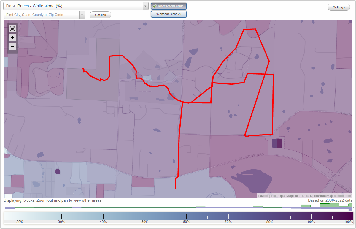
Anderson Farm neighborhood in Fayetteville, Arkansas (AR), 72701 detailed profile
Settings
X

Business Search - 14 Million verified businesses
Area: 0.872 square miles
City-data.com crime index for city in 2020 (higher means more crime):
| City: | 422.6 |
| U.S. average: | 219.5 |
Highways in this neighborhood:
E Huntsville Rd (State Hwy 16 Scn)
Length: 0.89 miles
Directions: E-W, SE-NW
Address range: 2646 to 3261
Directions: E-W, SE-NW
Address range: 2646 to 3261
Roads and streets:
E Wyman Rd (Wyman Rd, Co Rd 48)
Length: 0.60 miles
Direction: E-W
Address range: 2800 to 3331
Direction: E-W
Address range: 2800 to 3331
Stone Bridge Rd
Length: 0.33 miles
Direction: N-S
Address range: 425 to 877
Direction: N-S
Address range: 425 to 877
Holmes Dr
Length: 0.15 miles
Directions: E-W, SE-NW, SW-NE
Address range: 2600 to 2799
Directions: E-W, SE-NW, SW-NE
Address range: 2600 to 2799
Travis St
Length: 0.12 miles
Direction: E-W
Address range: 2600 to 2799
Direction: E-W
Address range: 2600 to 2799
Limestone
Length: 0.08 miles
Directions: N-S, SE-NW, SW-NE
Directions: N-S, SE-NW, SW-NE
S Pierremont Dr
Length: 0.05 miles
Directions: N-S, SE-NW, SW-NE
Directions: N-S, SE-NW, SW-NE
E Neely Pl
Length: 0.03 miles
Directions: E-W, SW-NE
Directions: E-W, SW-NE
Sherlock Ave
Length: 0.03 miles
Directions: N-S, SW-NE
Address range: 500 to 599
Directions: N-S, SW-NE
Address range: 500 to 599
Other features:
West Fork White Riv
Length: 0.45 miles
Direction: SW-NE
Direction: SW-NE