Ellettsville, IN Current Weather and Forecast
Ellettsville, IN Weather Forecast
9:49 PM EDT Fri May 3 2024
REST OF TONIGHT - Mostly cloudy. Isolated showers through
midnight. Patchy fog toward daybreak. Lows in the lower 60s.
Northeast winds around 5 mph. Chance of rain 20 percent.
SATURDAY - Mostly cloudy in the morning, then becoming partly
cloudy. Patchy fog in the morning. Scattered showers. Isolated
thunderstorms in the morning, then scattered thunderstorms in the
afternoon. Highs in the upper 70s. Southeast winds around 5 mph,
becoming southwest in the afternoon. Chance of rain 40 percent.
SATURDAY NIGHT - Partly cloudy. A chance of showers and
thunderstorms through midnight, then a slight chance of showers
and thunderstorms toward daybreak. Lows in the lower 60s.
Southwest winds around 5 mph. Chance of rain 50 percent.
SUNDAY - Mostly cloudy in the morning, then becoming partly
cloudy. A chance of showers with a slight chance of
thunderstorms. Highs in the upper 70s. Northwest winds around
5 mph. Chance of rain 30 percent.
SUNDAY NIGHT - Partly cloudy through midnight, then becoming
mostly cloudy. A chance of showers and thunderstorms. Lows in the
lower 60s. Northeast winds around 5 mph, becoming east toward
daybreak. Chance of rain 50 percent.
MONDAY - A chance of thunderstorms. Showers. Highs in the mid
70s. Chance of rain 80 percent.
MONDAY NIGHT - Partly cloudy with a chance of showers. A chance
of thunderstorms through midnight, then a slight chance of
thunderstorms toward daybreak. Lows in the mid 60s. Chance of
rain 40 percent.
TUESDAY - Showers likely with a slight chance of thunderstorms
in the morning, then showers with a chance of thunderstorms in
the afternoon. Highs around 80. Chance of rain 80 percent.
TUESDAY NIGHT - Partly cloudy with a chance of thunderstorms.
Showers likely through midnight, then a chance of showers toward
daybreak. Lows in the mid 60s. Chance of rain 70 percent.
WEDNESDAY - Partly cloudy with a chance of thunderstorms. A
chance of showers in the morning, then showers likely in the
afternoon. Highs in the lower 80s. Chance of rain 60 percent.
WEDNESDAY NIGHT - Partly cloudy through midnight, then becoming
mostly cloudy. A chance of thunderstorms. Showers through
midnight, then a chance of showers toward daybreak. Lows in the
mid 60s. Chance of rain 80 percent.
THURSDAY - Partly cloudy in the morning, then clearing. A chance
of showers and thunderstorms. Highs in the upper 70s. Chance of
rain 40 percent.
THURSDAY NIGHT - A slight chance of thunderstorms through
midnight. Partly cloudy with a chance of showers. Lows in the
upper 50s. Chance of rain 40 percent.
FRIDAY - Partly cloudy with a chance of showers. A slight chance
of thunderstorms in the afternoon. Highs in the lower 70s. Chance
of rain 30 percent.
National Weather Service Indianapolis IN
Ellettsville, IN Current Weather Conditions
MONROE COUNTY AIRPORT, IN, United States (KBMG) 39-09N 086-37W 257M
May 03, 2024 - 10:53 PM EDT / 2024.05.04 0253 UTC
Wind: Calm:0
Visibility: 7 mile(s):0
Sky conditions: clear
Temperature: 64.0 F (17.8 C)
Dew Point: 62.1 F (16.7 C)
Relative Humidity: 93%
Pressure (altimeter): 29.98 in. Hg (1015 hPa)
Pressure tendency: 0.01 inches (0.5 hPa) higher than three hours ago
Data:
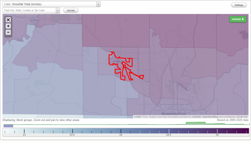
Snowfall Total (inches)
Temperature - Highest of record (°F)
Temperature - Lowest of record (°F)
Mean number of days with minimum temperature 32 °F or lower
Mean number of days with maximum temperature 90 °F or higher
Normal precipitation (inches)
Mean number of days with precipitation 0.01 inches or more
Maximum wind speed (MPH)
Normal daily mean temperature (°F)
Normal cooling degree days, Base 65 °F
Normal heating degree days, Base 65 °F
Normal daily maximum temperature (°F)
Normal daily minimum temperature (°F)
Average percent of possible sunshine (%)
Cloudiness - Mean number of days clear
Cloudiness - Mean number of days partly cloudy
Cloudiness - Mean number of days cloudy
Average relative humidity - Morning (%)
Average relative humidity - Evening (%)
Tornadoes in 1950-2018
Tornadoes in 1950-1954
Tornadoes in 1955-1959
Tornadoes in 1960-1964
Tornadoes in 1965-1969
Tornadoes in 1970-1974
Tornadoes in 1975-1979
Tornadoes in 1980-1984
Tornadoes in 1985-1989
Tornadoes in 1990-1994
Tornadoes in 1995-1999
Tornadoes in 2000-2004
Tornadoes in 2005-2009
Tornadoes in 2010-2014
Tornadoes in 2015-2018
Earthquakes in 2000
Earthquakes in 2001
Earthquakes in 2002
Earthquakes in 2003
Earthquakes in 2004
Earthquakes in 2005
Earthquakes in 2006
Earthquakes in 2007
Earthquakes in 2008
Earthquakes in 2009
Earthquakes in 2010
Earthquakes in 2011
Earthquakes in 2012
Earthquakes in 2013
Earthquakes in 2014
Earthquakes in 2015
Earthquakes in 2016
Earthquakes in 2017
Earthquakes in 2018
Earthquakes in 2019
Earthquakes in 2020
Earthquakes in 2000-2020
Snowfall Total (inches)
Temperature - Highest of record (°F)
Temperature - Lowest of record (°F)
Mean number of days with minimum temperature 32 °F or lower
Mean number of days with maximum temperature 90 °F or higher
Normal precipitation (inches)
Mean number of days with precipitation 0.01 inches or more
Maximum wind speed (MPH)
Normal daily mean temperature (°F)
Normal cooling degree days, Base 65 °F
Normal heating degree days, Base 65 °F
Normal daily maximum temperature (°F)
Normal daily minimum temperature (°F)
Average percent of possible sunshine (%)
Cloudiness - Mean number of days clear
Cloudiness - Mean number of days partly cloudy
Cloudiness - Mean number of days cloudy
Average relative humidity - Morning (%)
Average relative humidity - Evening (%)