North Dakota Severe Storms and Flooding (DR-1829)
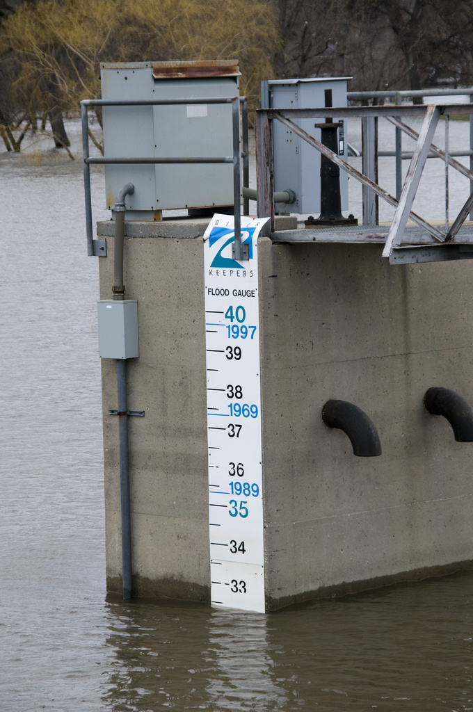
Photo date: November 24, 2007
Photographer: FEMA / Patsy Lynch
Photo location: Fargo ND
Categories: Flooding
A measuring tape shows the current level of the Red River. The river reached a record 40 feet above flood stage. Temporary levees were constructed by the U.S. Army Corps of Engineers to control flooding in and around the Fargo area. Photo by Patsy Lynch/FEMA
Go to: Disaster photos, Fargo, All US cities.