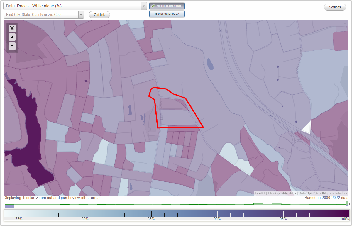
Downtown Trumbull (Town Hall) neighborhood in Trumbull, Connecticut (CT), 06611 detailed profile
Settings
X

Business Search - 14 Million verified businesses
Area: 0.079 square miles
City-data.com crime index for place in 2020 (higher means more crime):
| City: | 120.4 |
| U.S. average: | 219.5 |
Highways in this neighborhood:
Main St (State Hwy 111)
Length: 0.28 miles
Direction: N-S
Address range: 5800 to 5917
Direction: N-S
Address range: 5800 to 5917
Roads and streets:
Church Hill Rd (State Hwy 127)
Length: 0.64 miles
Directions: E-W, SE-NW, SW-NE
Address range: 1 to 155
Directions: E-W, SE-NW, SW-NE
Address range: 1 to 155
Alden Ave
Length: 0.36 miles
Direction: E-W
Address range: 1 to 74
Direction: E-W
Address range: 1 to 74
Quality St
Length: 0.28 miles
Direction: E-W
Address range: 1 to 99
Direction: E-W
Address range: 1 to 99